Depending on the client needs we can geocode up to 1 million addresses per week.
The short answer is it depends on the quality of the address data and the type of collateral.
For example, a residential address portfolio with manually inputted addresses will deliver better results then commercial address portfolio with non-standard collateral properties (e.g. carparks, farms – where the address is farm name, other non-standard properties).
In almost all instances however using state of the art algorithms we match >95% of the address data within the portfolio regardless of the address quality. With agribusiness collateral for example we have developed a database that contains geo locations of large amounts of farms in Australia enabling strong match rates.
We use a combination of Geocoded National Address File (GNAF) database as well as Google Maps in order to geocode clients addresses.
We are flexible and have extensive history of delivering bespoke financial institution modelling solutions, often delivered from scratch (building a solution from ground up).
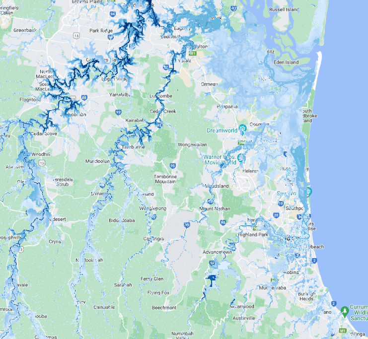
Please read the following article from our flood map suppliers to obtain information on 5m versus 30m flood resolution.
You need a valid Australian ABN number and a business name to open an account. To open a business account click here and complete the join form.
You simply type an Australian address you are interested in conducting a flood search on in our address search bar, fill in the required details within the form, make a payment and you will receive your flood risk assessment report within few minutes in your chosen email inbox.

Climate Mapping Services recognises the First Peoples of this nation and their ongoing connection to culture and country.
We acknowledge First Nations peoples as the Traditional Owners, Custodians and Lore Keepers of the world's oldest living cultures, and pay our respects to their elders – past, present and future.