Geocoding
In order to enable analysis of different natural peril and other risks at the property level, geo coordinates (latitude and longitude) are required. We specialise in cleaning dirty address data both residential and commercial in order to enable geocoding (assigning of latitude, longitude) to each individual property. Read more about our geocoding capability.
Geospatial Mapping and Analytics
Once geo coordinates are assigned to the address data, geospatial mapping and analysis can take place in order to identify addresses exposed to different natural peril and other risks. Read more about our geospatial capability.
Property Flood Check Reporting
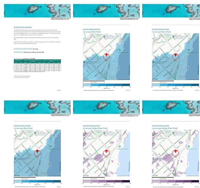
Climate Mapping Services has developed a flood risk assessment application where consumers and businesses can conduct a search and obtain a flood risk assessment report (River, Surface Water and Coastal Flooding) for that chosen property. Read more about our property flood check reporting.
About Climate Mapping Services
Australian Flood Risk Reporting specialists
We are a team of professionals with decades of experience in: Financial Services, Financial Institution Regulation and Engineering. Our skillset spans across Capital Management, Stress Testing, Climate Change Scenario Analysis, Modelling, Geocoding, Geo mapping and Data Analytics.
We specialise in end-to-end climate mapping, modelling and analytics including:
- Cleaning of messy collateral address data and geocoding (assigning latitude and longitude) each collateral address to enable modelling of individual properties against different natural perils.
- Sourcing 3rd party natural peril raster data in order to assess institutions exposure against different natural perils. This includes: flood, storm surge, hail, cyclone, fire and other natural perils.
- We analyse the data and prepare reports that provide insights of where the institution’s natural peril risk lies, enabling better risk appetite setting, pricing and decision making.
- Australia wide property flood risk report provider. Obtain a flood check report for your property here.
Acknowledgement of Country
Climate Mapping Services recognises the First Peoples of this nation and their ongoing connection to culture and country. We acknowledge First Nations peoples as the Traditional Owners, Custodians and Lore Keepers of the world’s oldest living cultures, and pay our respects to their elders – past, present and future.